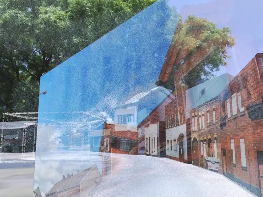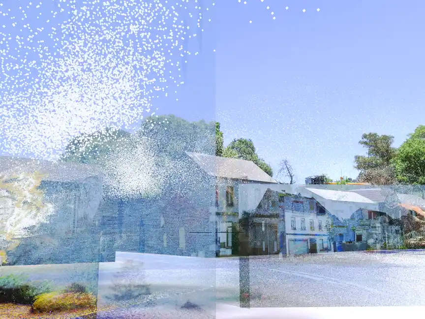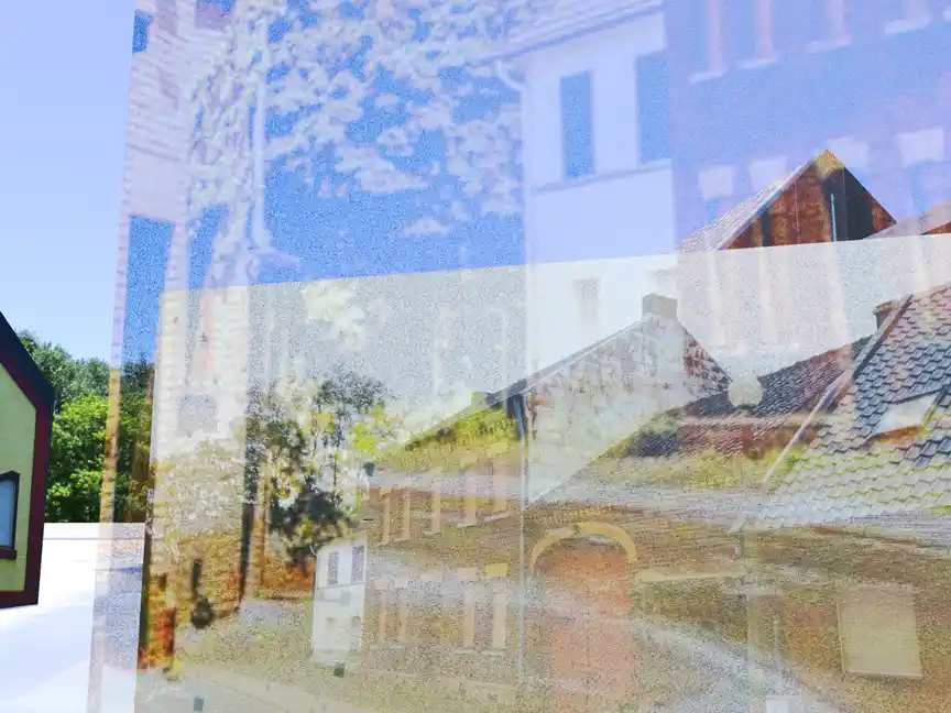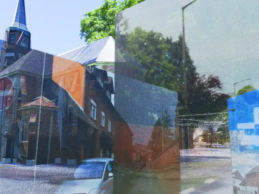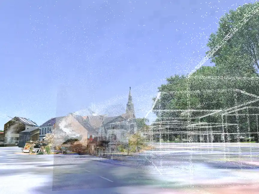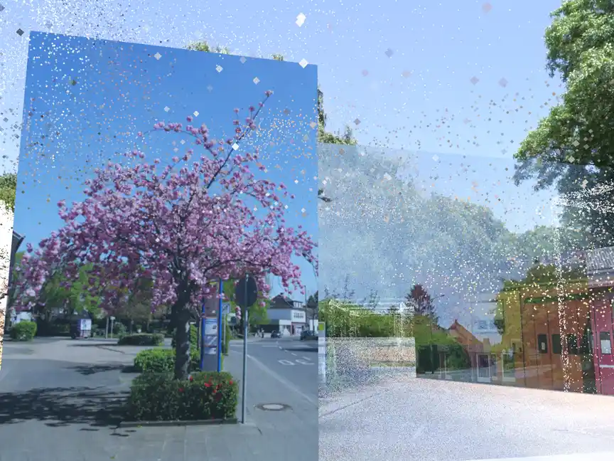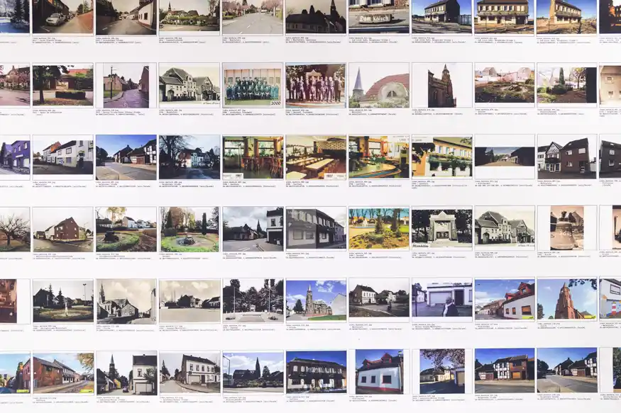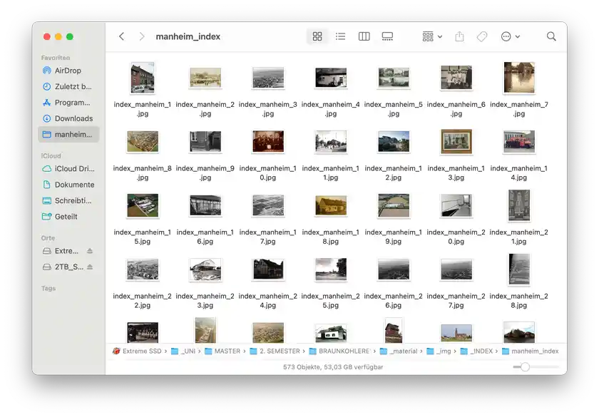

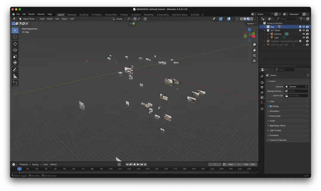
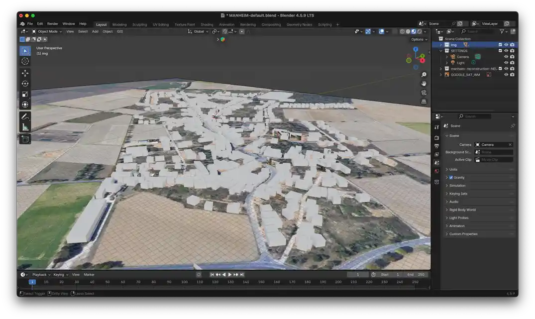

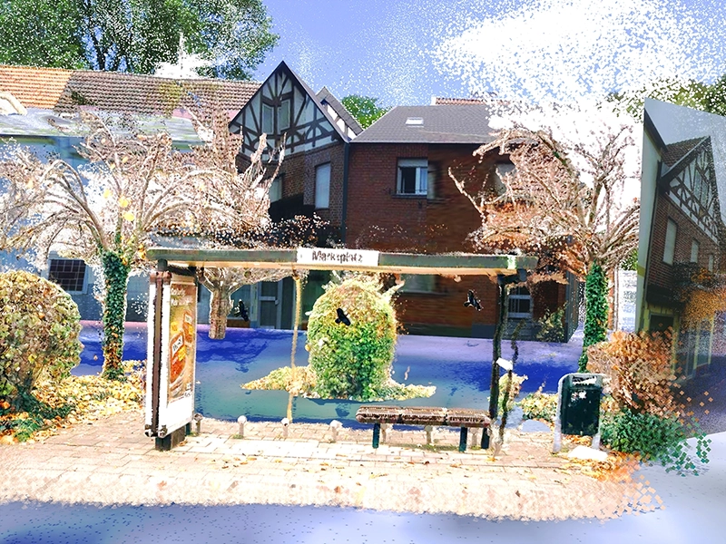
The initial question behind this project was how a place can be mapped when it no longer physically exists. As the project progressed, I realised that the challenge lay not only in the absence of the village itself, but also in the fragmented nature of the available material. One of the key insights was that spatial understanding does not necessarily arise from individual images. Many of the photos I collected were low-resolution screenshots, amateur photographs or archive images taken from narrow angles. Viewed in isolation, they provided only limited information about the former village and little metadata. However, once these images were geolocated and linked together, they began to reveal previously invisible connections. The project therefore shifted from collecting photographs to mapping connections between them. By assigning images to specific locations and viewing them in relation to one another, it became possible to reconstruct a spatial understanding of Manheim that had been contained within individual photographs alone. When I returned to the site for the second time, I was already able to find my bearings more easily and recognise spatial relationships that had previously remained hidden from me.
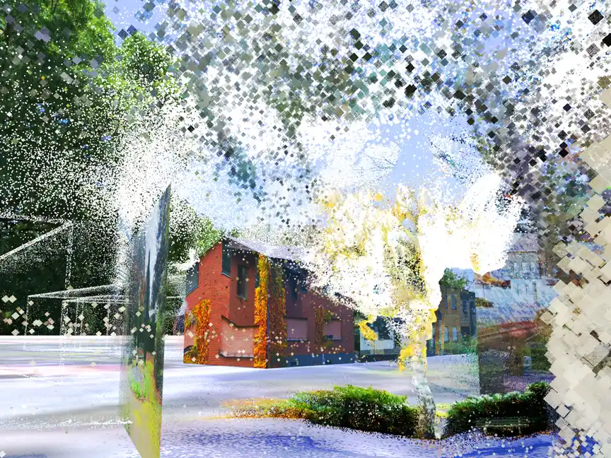
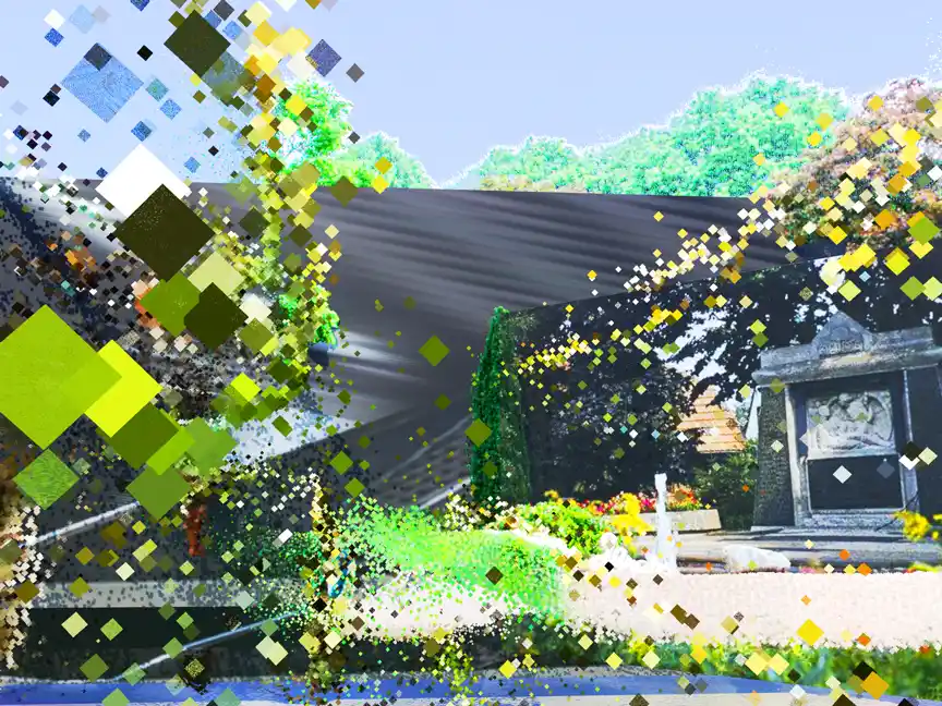
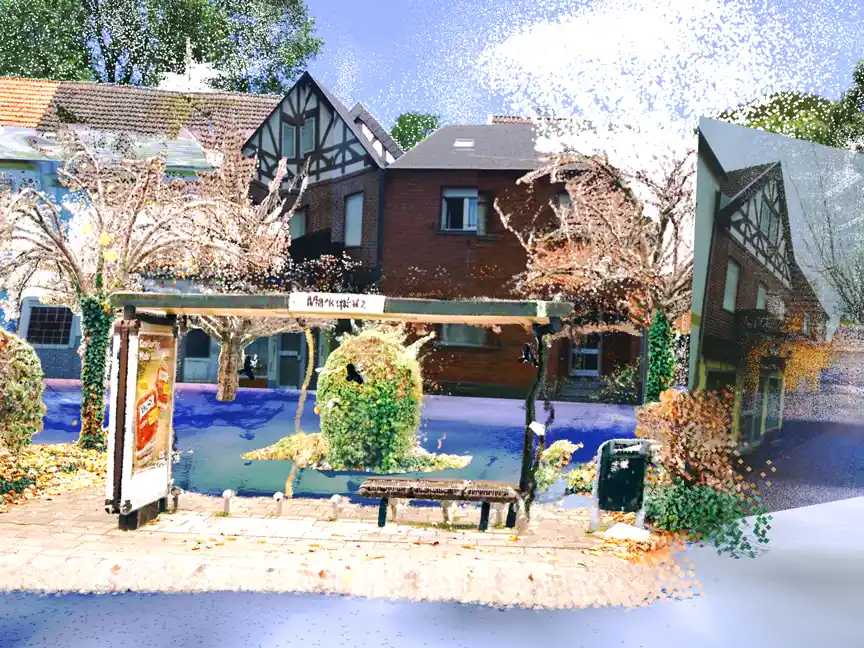
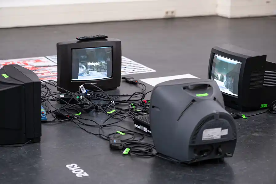
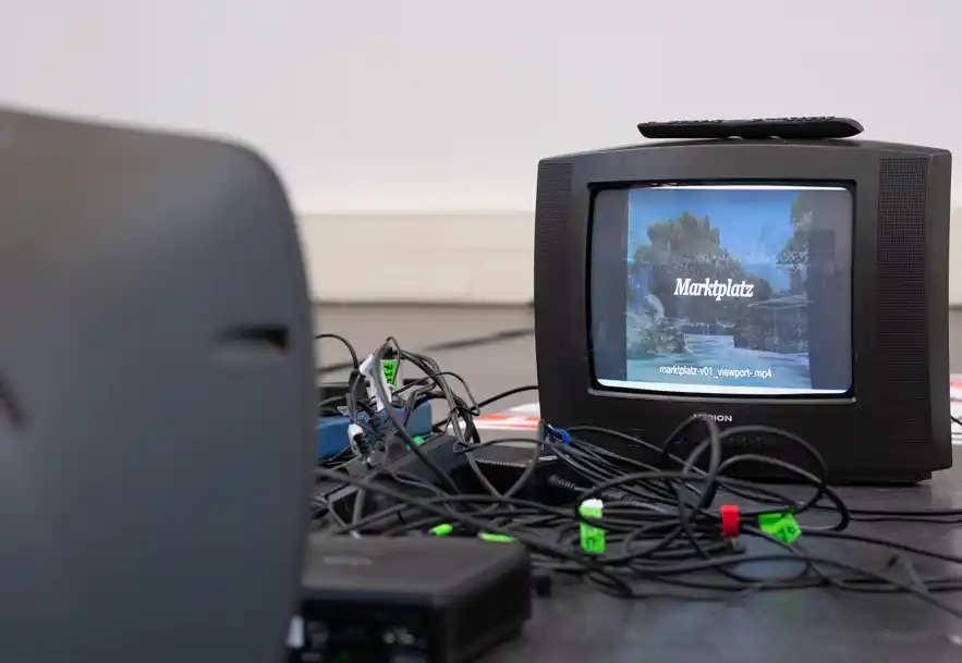
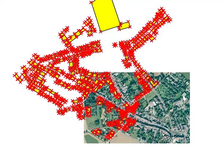
The density maps compiled from the archive revealed another important aspect of the project. Some locations appeared repeatedly throughout the image archive, whilst others remained almost entirely undocumented. Public spaces such as the church, the market square or the war memorial were documented visually far more frequently than private homes. This suggests that collective memory is not evenly distributed across a place. Certain places are reinforced through repeated photographing, sharing and remembering, whilst others gradually disappear from the image archive. The project also highlighted the role of digital tools in contemporary mapping practices. Technologies such as QGIS, Blender, Python and AI-supported workflows made it possible to organise and process an extensive archive within a limited timeframe. Their significance, however, lies less in automation and more in their ability to uncover relationships between fragmented pieces of information. The reconstruction was not generated by these tools; rather, the tools enabled the fragments to be read as a spatial structure.
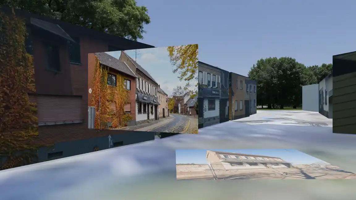
Looking back, I no longer see the project primarily as a reconstruction of Manheim. Rather, it is an exploration of how a collective spatial memory can emerge from photographic fragments. The village does not reappear through a single image. It emerges through the connections between images, maps and spatial relationships. In this sense, the project suggests that mapping is not only a way of documenting existing places, but also a way of making visible places that have already disappeared.